Author Rick Charette
Photographer Rick Charette,Outlookxp, Department of Information and Tourism, Taipei City Government
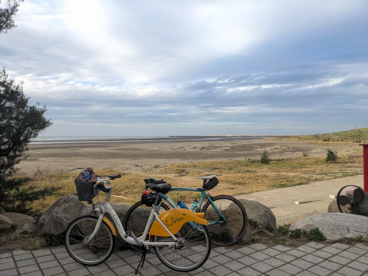
Through the ending decades of last century Taiwan was known as the “Kingdom of Bicycles,” maker of bikes for export around the globe. A striking anomaly was that in fact exceedingly few people here cycled for pleasure. Times have changed — in the past two-plus decades Taiwan folk have taken to recreational cycling with great passion, and local governments have created thousands of kilometers of dedicated bikeways and cycling-friendly roadways.
News of the first-rate and strikingly variegated biking in this land of unusually rich natural beauty has now spread far from local shores, and ever more international travelers are now visiting with “cycling” as their No. 1 reason. In a past article we presented eight recommended cycling routes vetted by our Taiwan Scene crew of cycling enthusiasts, much of the time spent on regular roads (Read more: Eight Unforgettable Taiwan Cycling Routes).
In this article we’re showcasing six of the best dedicated bikeways (“cheating” a bit on the last entry, as you’ll see), again providing approximate kilometer distances and intensity ratings, one star to four, one meaning “beginner level” and four meaning a ride with more demanding challenges such as length, exposure to sun or wind, steep sections, etc. None of the rides requires any serious climbing, however.
Buckle up those helmets! Let’s head out!
1. Taipei Riverside Bikeway Network (台北河濱自行車道)
KM: Variable
Intensity: ★★ (if multiple sections tackled; sun exposure)
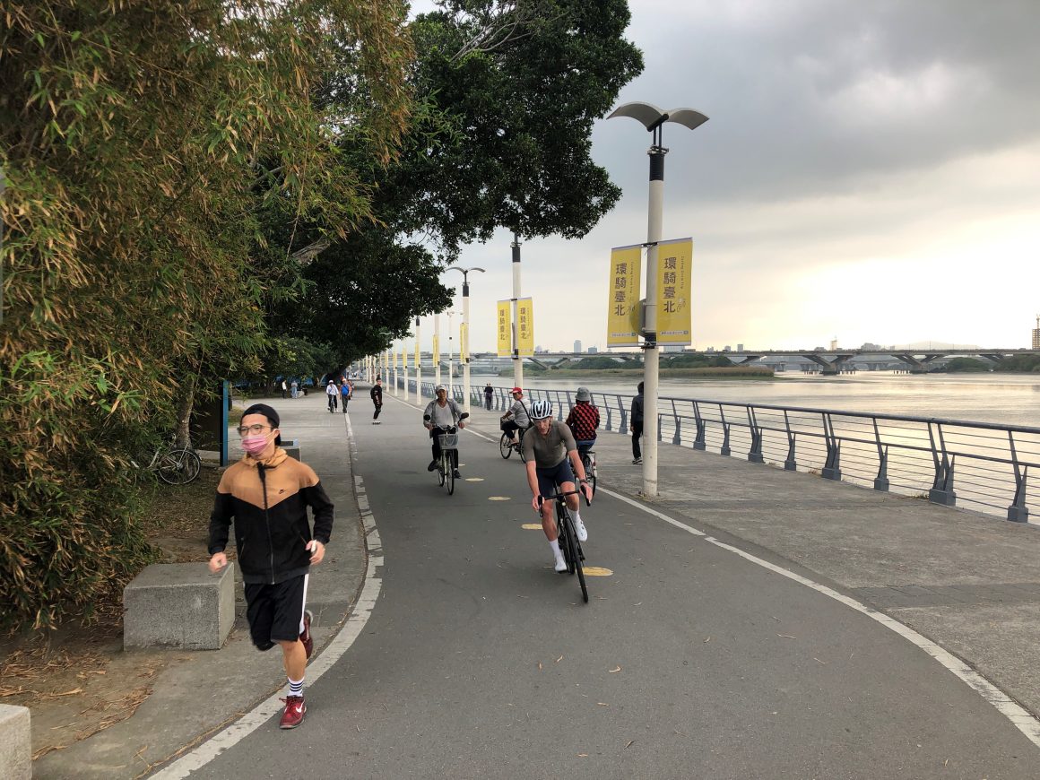
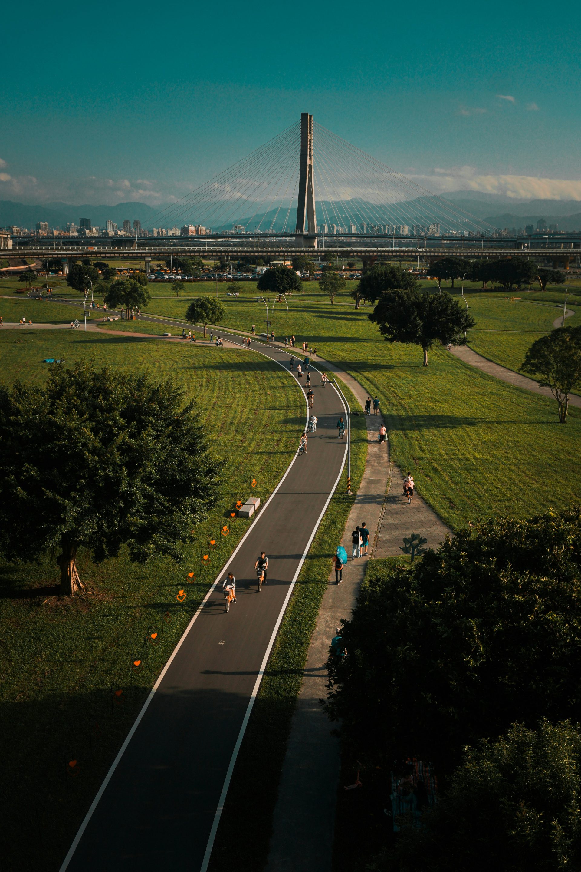
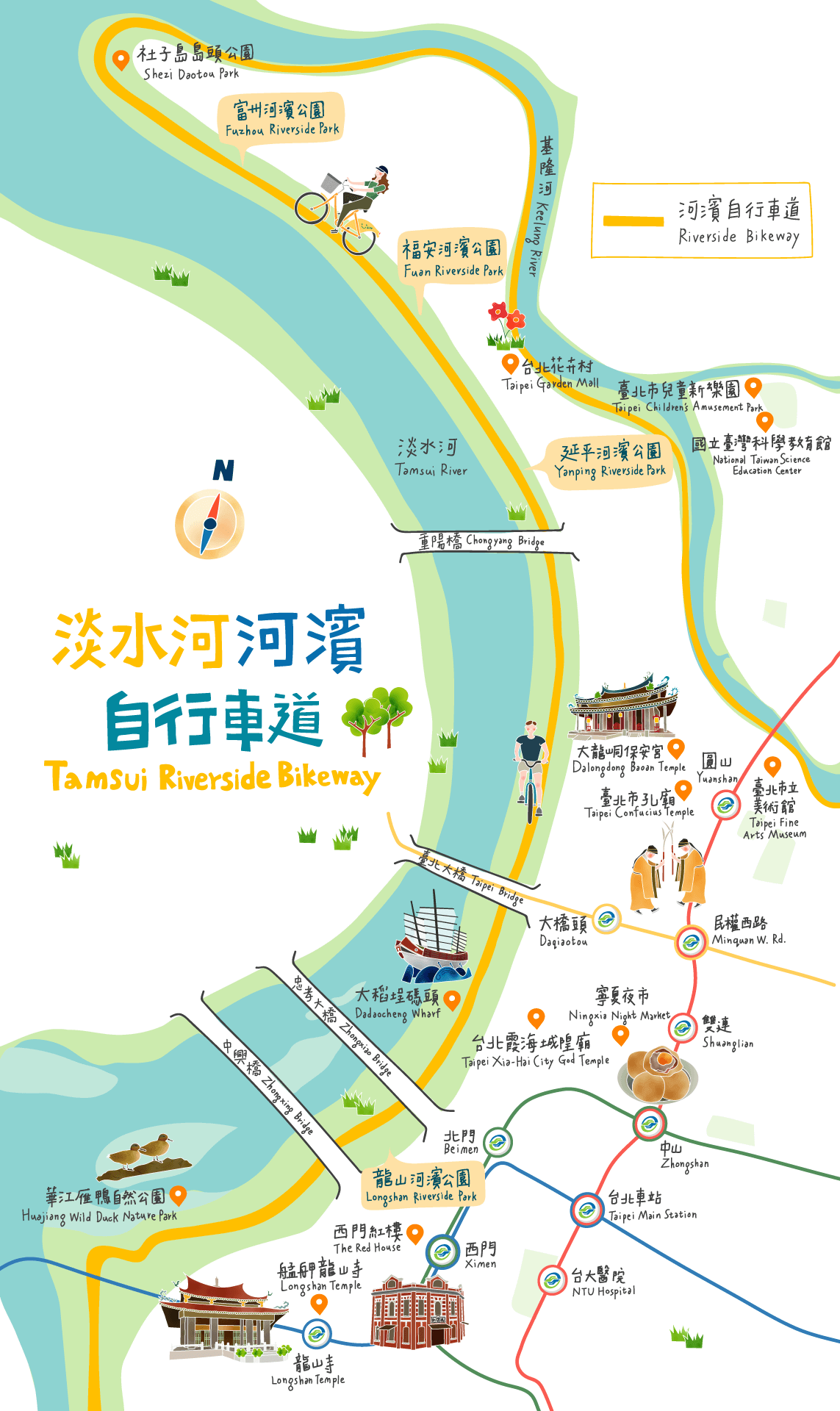
The city’s network of interconnected gentle-grade riverside bikeways stretches well over 100km, looping the central core and heading up to the coastal port town of Tamsui along the Tamsui River and south to the heritage-rich towns of Sanxia (三峽), Yingge(鶯歌), and Daxi(大溪) along the Dahan River(大漢溪). Taipei sits in a mountain-surrounded basin, and on the riverside excursions to the coast and south you’ll have mountains in close on both sides. Most riders handle the network in sections; among the most popular rides is the 17km Tamsui River section from Shilin District to Tamsui. Bike rentals are readily available, with YouBike public bike-rental stations near all riverside park entrances and government-vetted privately run operators at various points right along the bikeways. (Read more: Easy Cycling Tour along Taipei’s Riverside Bikeway)
2. Old Caoling Circle Line Bikeway (舊草嶺環狀線自行車道)
KM: 20
Intensity: ★★★ (length, coastal section sun and wind exposure)
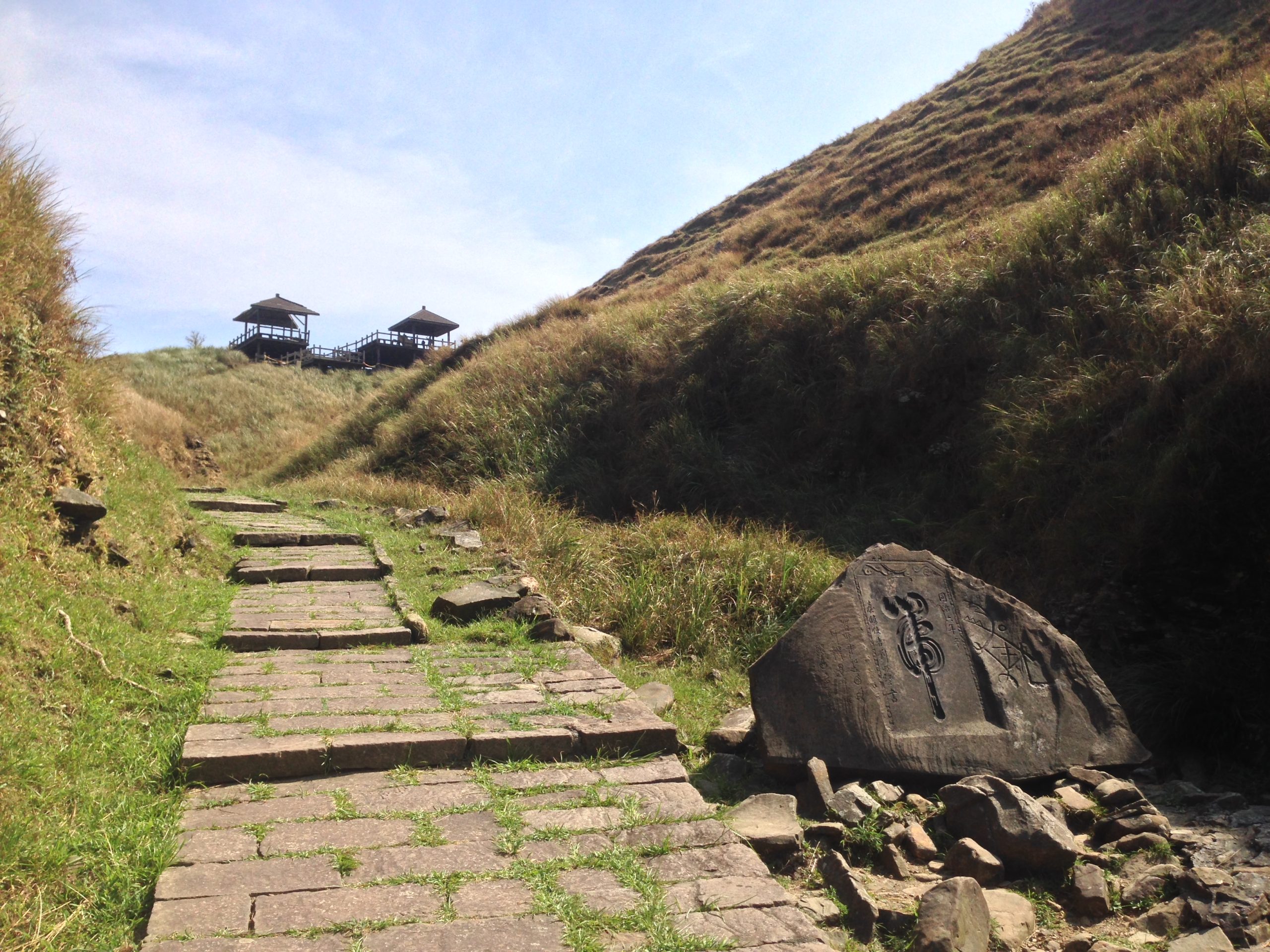
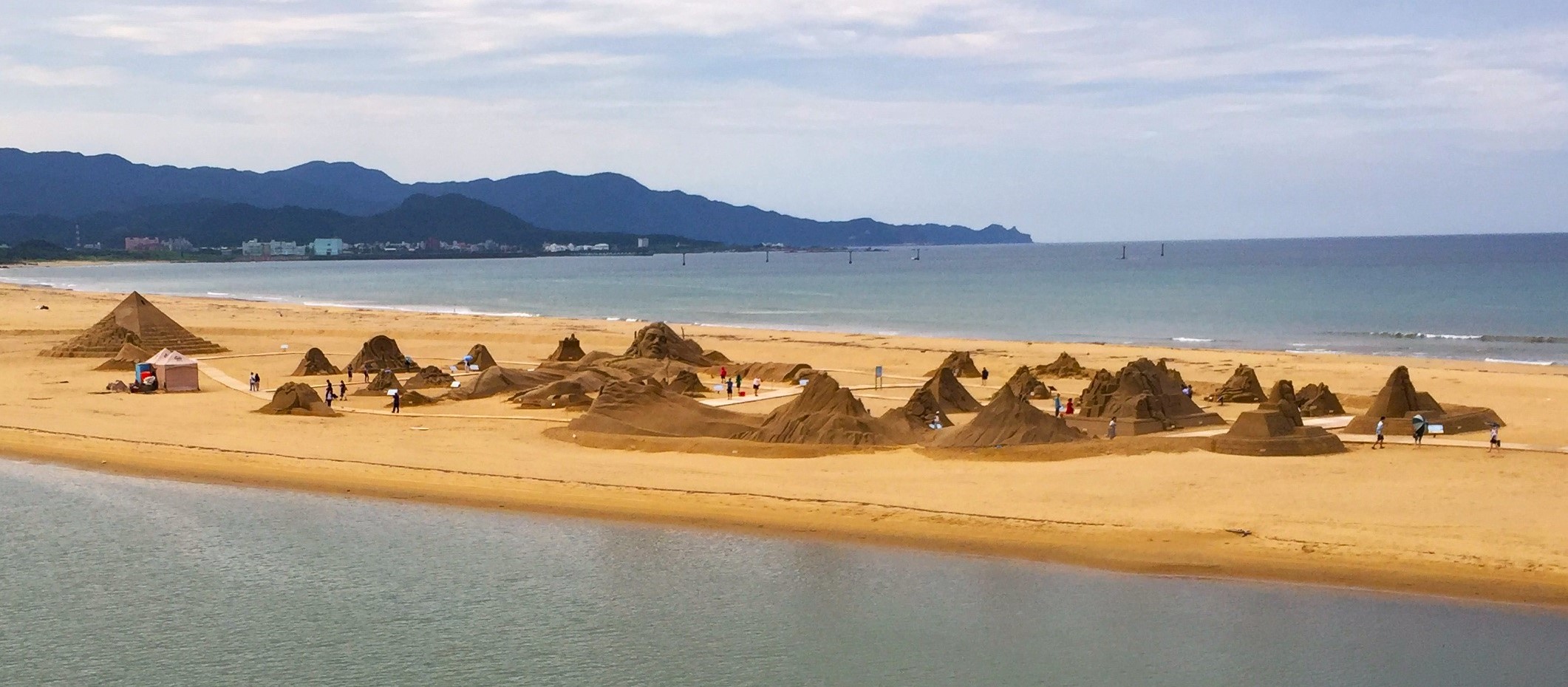
This 20km route begins at the small railway station in the popular seaside tourist village of Fulong on the Northeast Coast and first takes you through a shallow, picturesque farm-dotted valley to a mountain base through which a 2,167m-long retired railway tunnel slices. When you pop out at the other end you’re right on the dramatically rugged coast. From here the bikeway heads back to Fulong beside the coastal highway, cliffs on one side most of the way, crashing breakers below on the other. The inland section is very flat, and the coast-hugging section lacks shade, can be a bit windy, and is moderately undulating, requiring a bit of stamina (most riders not using e-bikes simply do the first section and turn back). Private bike-rental operators are located around the train station and before the tunnel’s inland mouth.
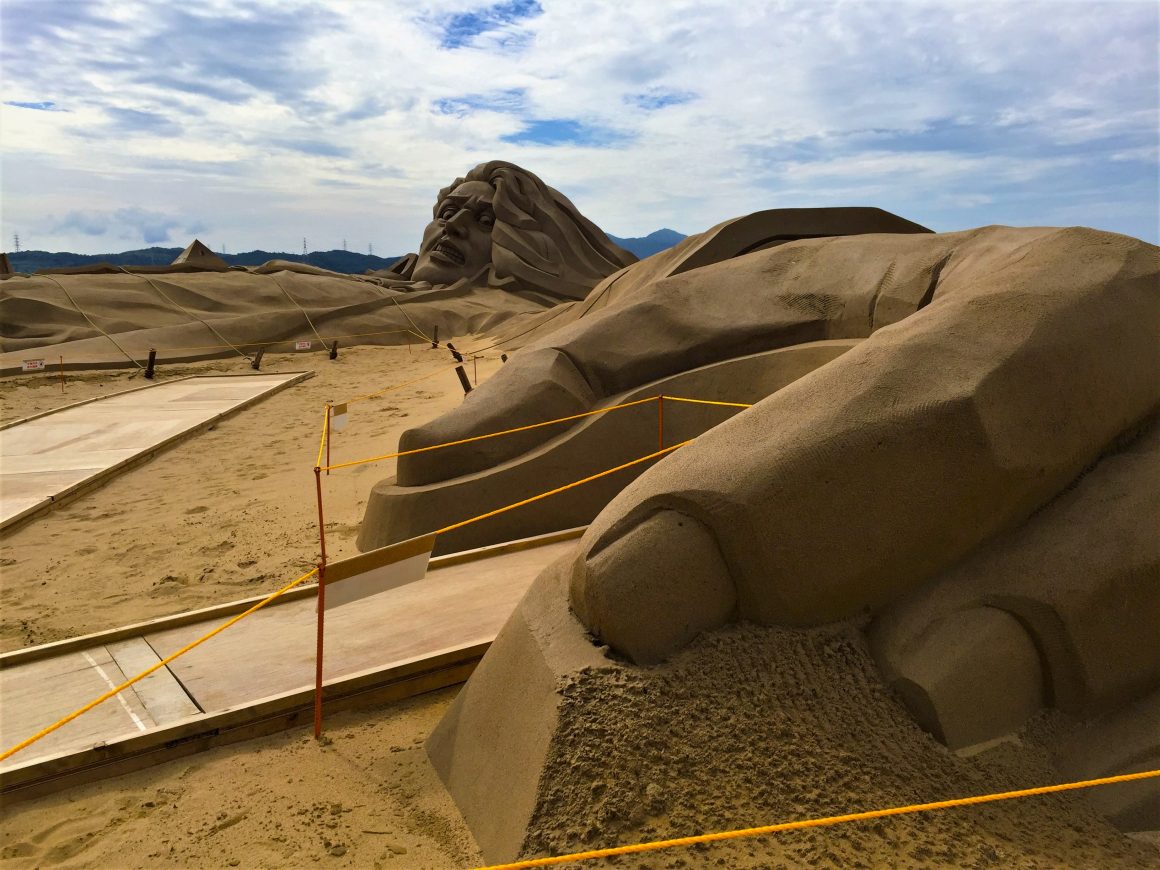
3. Dongfeng Bikeway & Houfeng Bikeway (東豐鐵馬道 / 后豐鐵馬道)
KM: 17.5 Intensity: ★★ (length)
Intensity: ★★ (length)
These two adjoining bikeways provide the perfect means to explore Taichung City’s rural northern area as well as Taiwan Hakka culture. Both follow level-grade decommissioned railway line trackbeds.
The line for the Dongfeng Bikeway, just under 13km, was used for local passenger traffic – the local population is heavily Hakka – and to transport agri-products and timber from the central mountains. The cycleway has many food and drink stands and eateries along the way. Planted trees form long sections of shady “green corridor” canopy, and there is night lighting. Among the variegated charismatic sights encountered are old restored railway stations – one has been rebuilt in the style of a traditional Hakka courtyard residence – and colorful guava and pear orchards.
The connecting Houfeng Bikeway (the routes meet up at their western ends), which has more patchy tree shade, brings you across a 380m steel railway bridge with impressive vistas up and down the Dajia River valley, afterward immediately delivering you into a low mountain via the 1273m-long No. 9 Tunnel. Note that sections of this route are closed at 7 pm, so if intending to tackle both cycling paths consider doing this one first.
Private bike-rental operators are set up around the respective end-points of the trails.
Klook.com4. Guanshan Town Circle Bicycle Path (關山環鎮腳踏車道)
KM: 15.2km
Intensity: ★★ (one long, two shorter moderate climbs)
This was Taiwan’s very first dedicated bikeway, created in 1997. The small, sleepy farm-center town of Guanshan is in the lyrically lovely and pristine East Rift Valley, a long and narrow 180km north-south valley with a fertile floor carpeted with neat-grid rice paddies, rapeseed fields, and fruit plantations, Central Mountain Range wall on one side, Coastal Mountain Range wall on the other. The bikeway starts at the alluringly landscaped Guanshan Water Park on the town’s southeast edge and takes you through the peaceful countryside by irrigation works around the town in a grand, lazy loop. The cycling is generally flat save for a few climbs, including one moderately steep section of about 300m that takes you up to perhaps the most pleasing bikeway section, above the town on the west side along a mountain base, gushing waters of an irrigation canal racing along beside you. There are numerous private bike-rental operators, near the water park entrance and in the town itself.
5. Chishang Bicycle Trail (池上環圳自行車道)
KM: 17
Intensity: ★
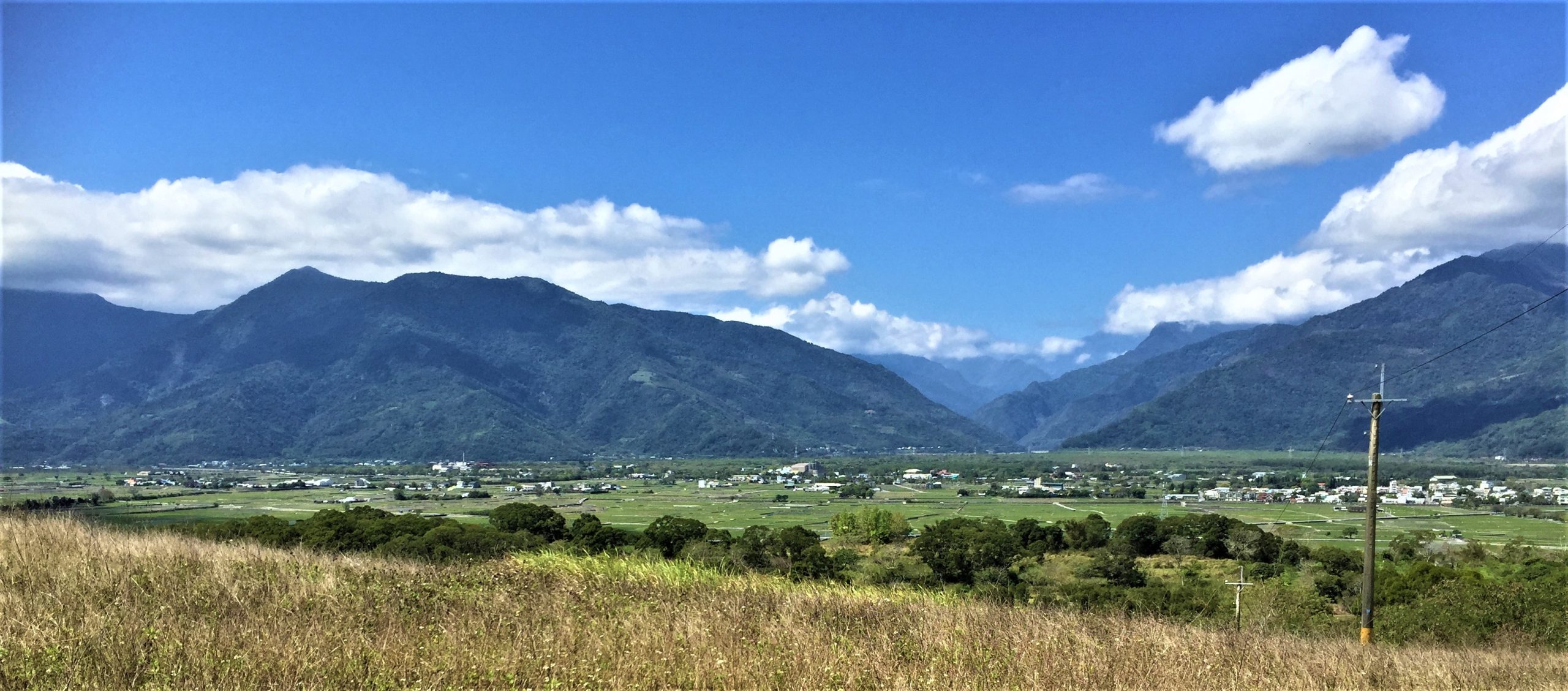
The farm-center town of Chishang is a short distance north of Guanshan(關山). The long, gentle-grade loop trail here, even more popular than Guanshan’s, starts on the town’s east edge and meanders around a sea of neat-grid rice paddies nourished by narrow irrigation canals. Alternate routes criss-cross inside this expanse (narrow farm roads; you’ll see few vehicles, all driving slowly). The full outer loop is about 17km. On the north end, beside the town, the bikeway circles pretty tree-surrounded Dapo Lake(大坡池), a natural wetland. Near the south end is the iconic Bolang Dadao (伯朗大道; Brown Avenue), made famous in a Mr. Brown Coffee commercial featuring Japanese-Taiwanese pop-idol heartthrob Takeshi Kaneshiro. There are numerous private bike-rental operations, near Dapo Lake and Bolang Dadao.
6. Taitung City to Sanxiantai Coastal Highway Ride (台東市至三仙台濱海公路)
KM: 50 (one way)
Intensity: ★★★★ (length, exposure to sun)
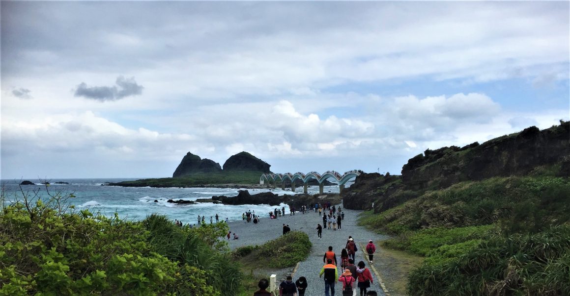
Small and comfortingly laid-back Taitung City is on the southeast coast, in a region with a heavy indigenous population. The local scenery is Hawaii-like, with palm-fringed roads and sandy beaches and high-quality surfing spots, the sun almost always shining and the slopes of the coastal mountains sliding down to the sea. The stretch of coastal highway from the city north to Sanxiantai, a major tourist attraction, has become a popular hiking route. Very cyclist-friendly – the roadway wide, gently undulating, light in motor-vehicle traffic, and featuring dedicated bike lanes on the shoulders – this stretch is known as being especially scenic and tourist-site appealing.
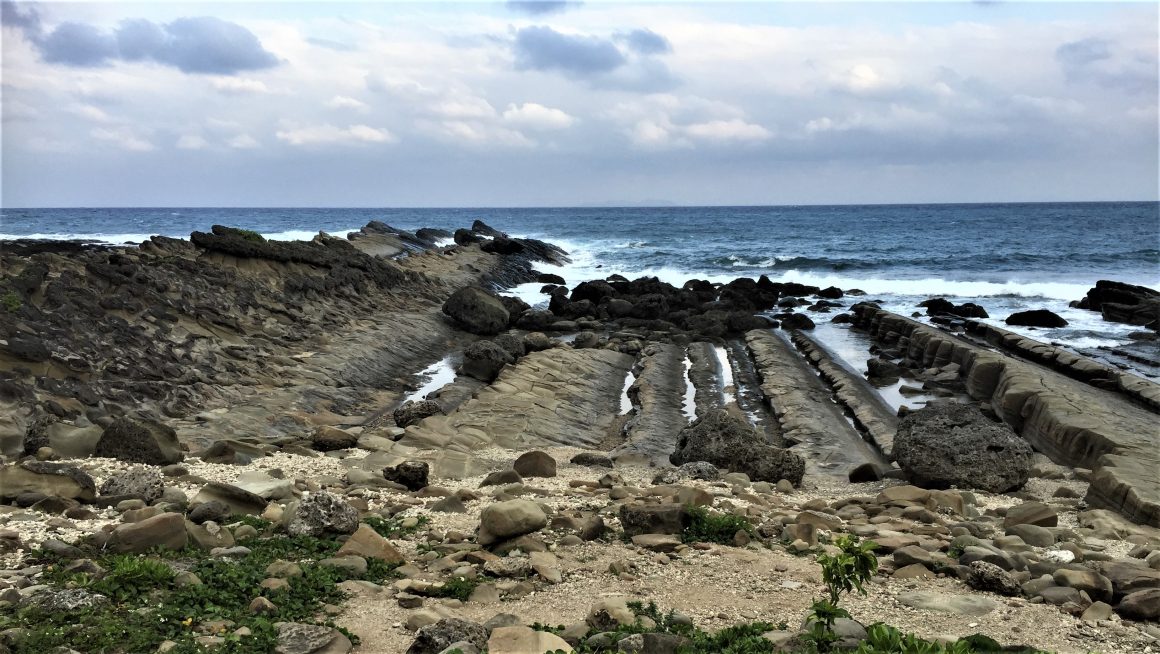
On the ride, about 50km one way, among the roadside tourist attractions most deserving a stop is Xiaoyeliu (“Little Yeliu”;小野柳), home to dynamic shoreline rock formations. The seaside park at Jialulan, festooned with found-materials art installations, is a great location for viewing the curving line of coast-hugging mountains to the north. Dulan town, a surfing hotspot, features a heritage tobacco factory complex transformed into an artist enclave. Sanxiantai (“Three Immortals Platform”) is a picturesque small island mainland-connected by a long, visually magnetic dragon-shaped pedestrian arch bridge.

